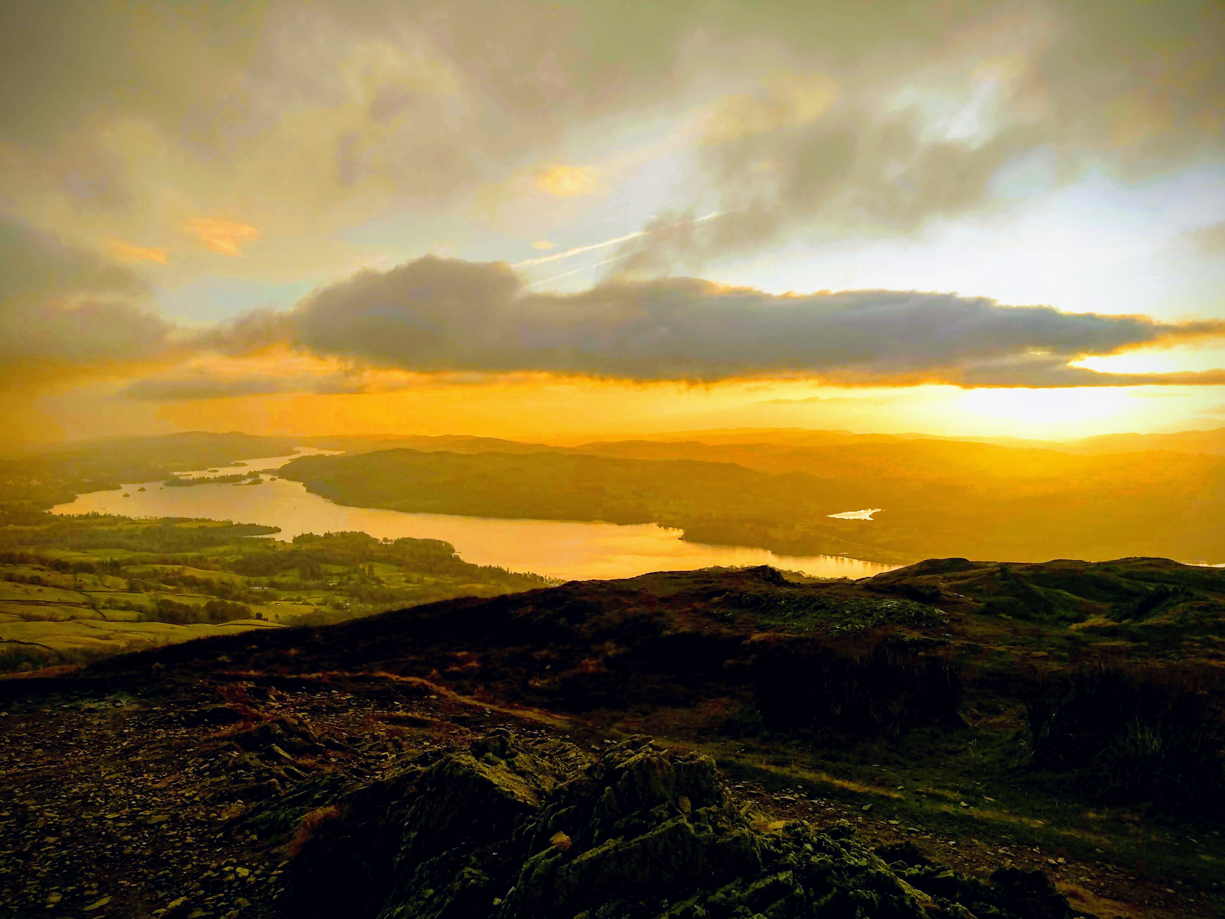
Wansfell Pike - Ambleside
On the west of the picturesque tourist town of Ambleside lies Wansfell Pike, 490 meters above sea level, with a 4.7 mile climb to it's summit, of relatively easy difficulty.
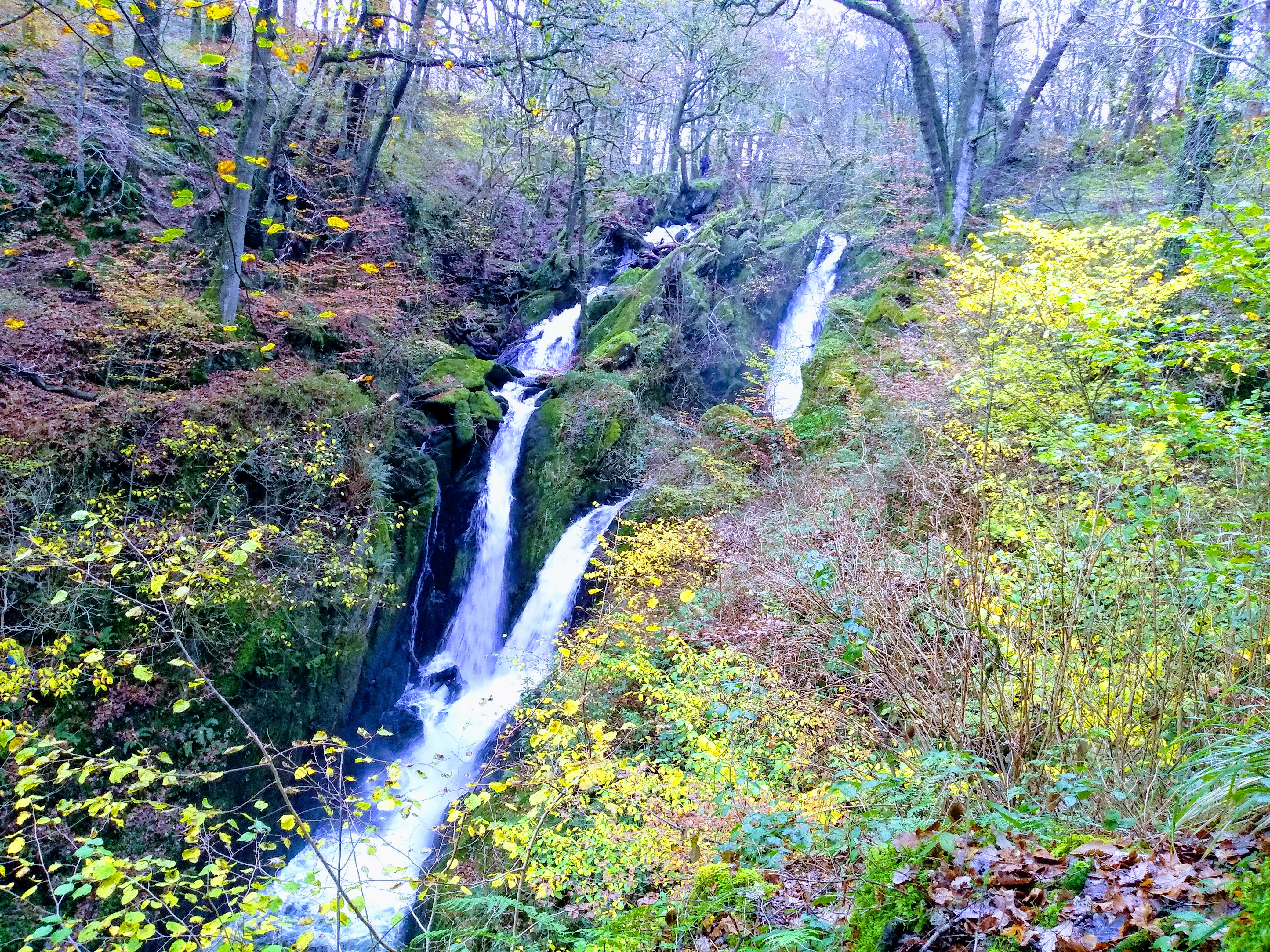
Along the road you'll take to reach the start of the mountain trails there is the hidden beauty - Stock Ghyll Force, a collection of waterfalls with the main fall measuring in around 70 feet tall.
I cannot recommend enough taking the extra time to meander through the circular path surrounding the falls before making your way to the fell.
Wansfell's trails are a combination of regular dirt paths and stone stairs for the majority of the steeper inclines, whilst you make this journey I recommend keeping your eyes peeled for birds of prey, they can regularly be seen
hovering in the eddies, watching for their prey. At the summit you will be greeted by a gorgeous view over lake Windermere, stretched from the Waterhead pier off into the distance.
If you can, timing your summit for the sunset in fair weather is close to a guarentee of an absolutely spectacular sight.
Red Screes - Ambleside & Rydal
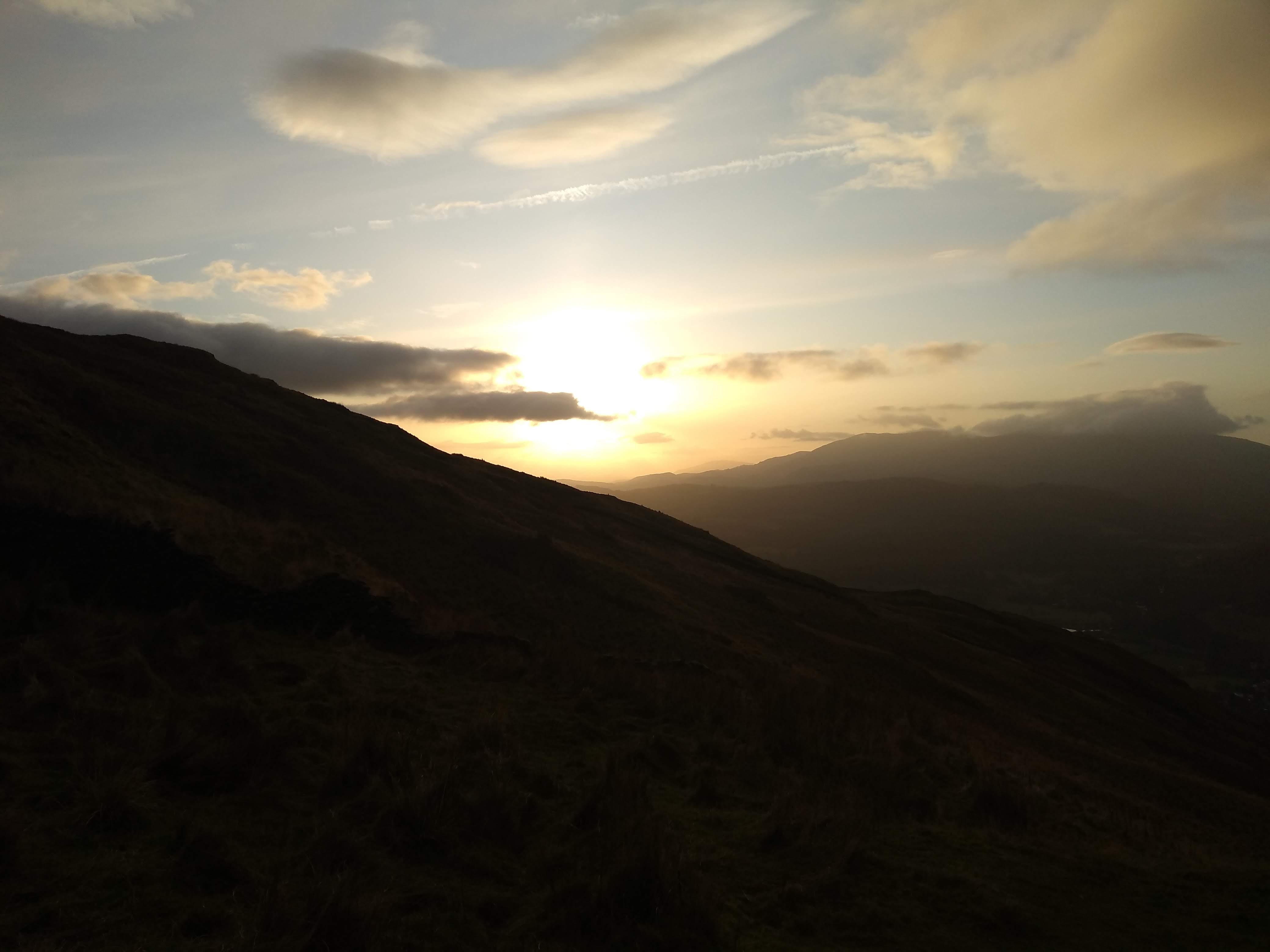
North of Wansfell Pike is Red Screes, a much more challenging walk, it is 776 meters above sea level with a roughly 7 mile walk from Ambleside to it's peak.
The walk is much more challenging, and the views, whilst not quite as spectacular as Wansfell, still do not fail to impress. Similarly to Wansfell you can often spot birds of prey in the skys above, however unlike Wansfell,
the elevation is high enough that you may see the RAF's regularly scheduled low flight training exercises pass below you! Carried out by C130 herculese cargo planes, a variety of tactical jets, and sometimes exceedingly rarely
elusive craft such as the V-22 osprey - A VTOL logistics craft which takes off with vertical blades akin to a helicopter and rotates them forwards to transition into a flight mode typical of fixed wing turbo-prop craft.
Whether you're a seasoned hiker or a military aircraft enthusiast I cannot recommend this walk enough! Given it's length and the elevation there's also a handy stone-walled shelter with seating for a spot of
sheltered lunch at the summit.
Scafell Pike
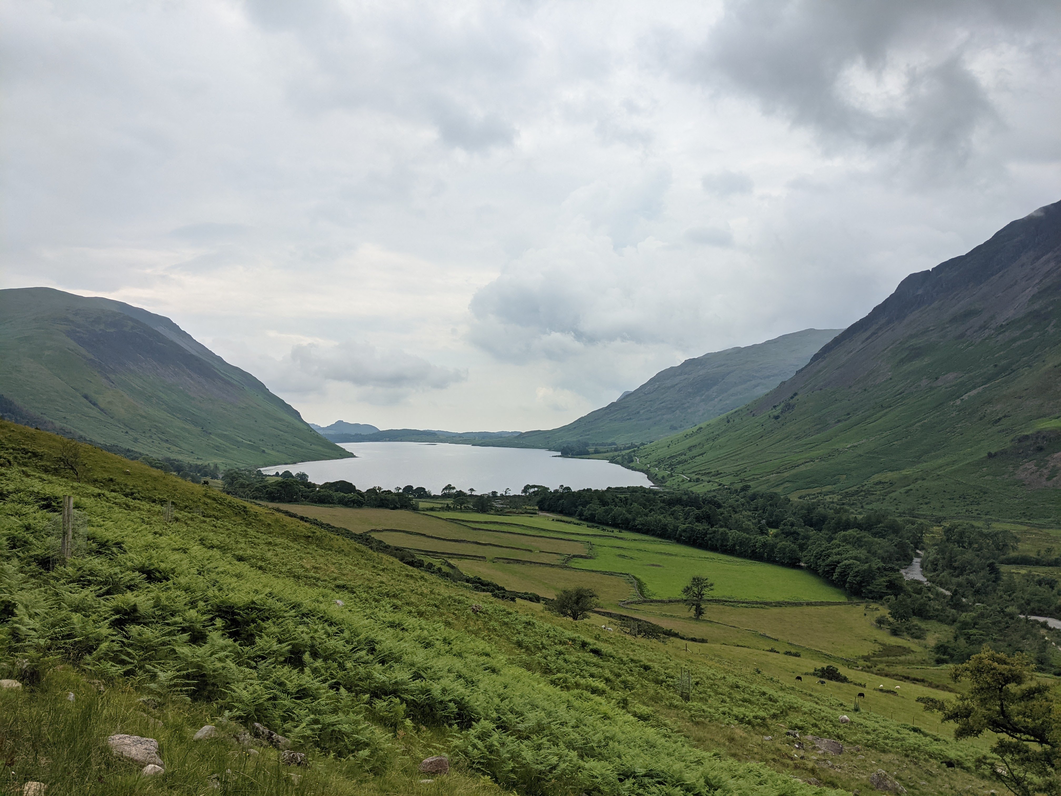
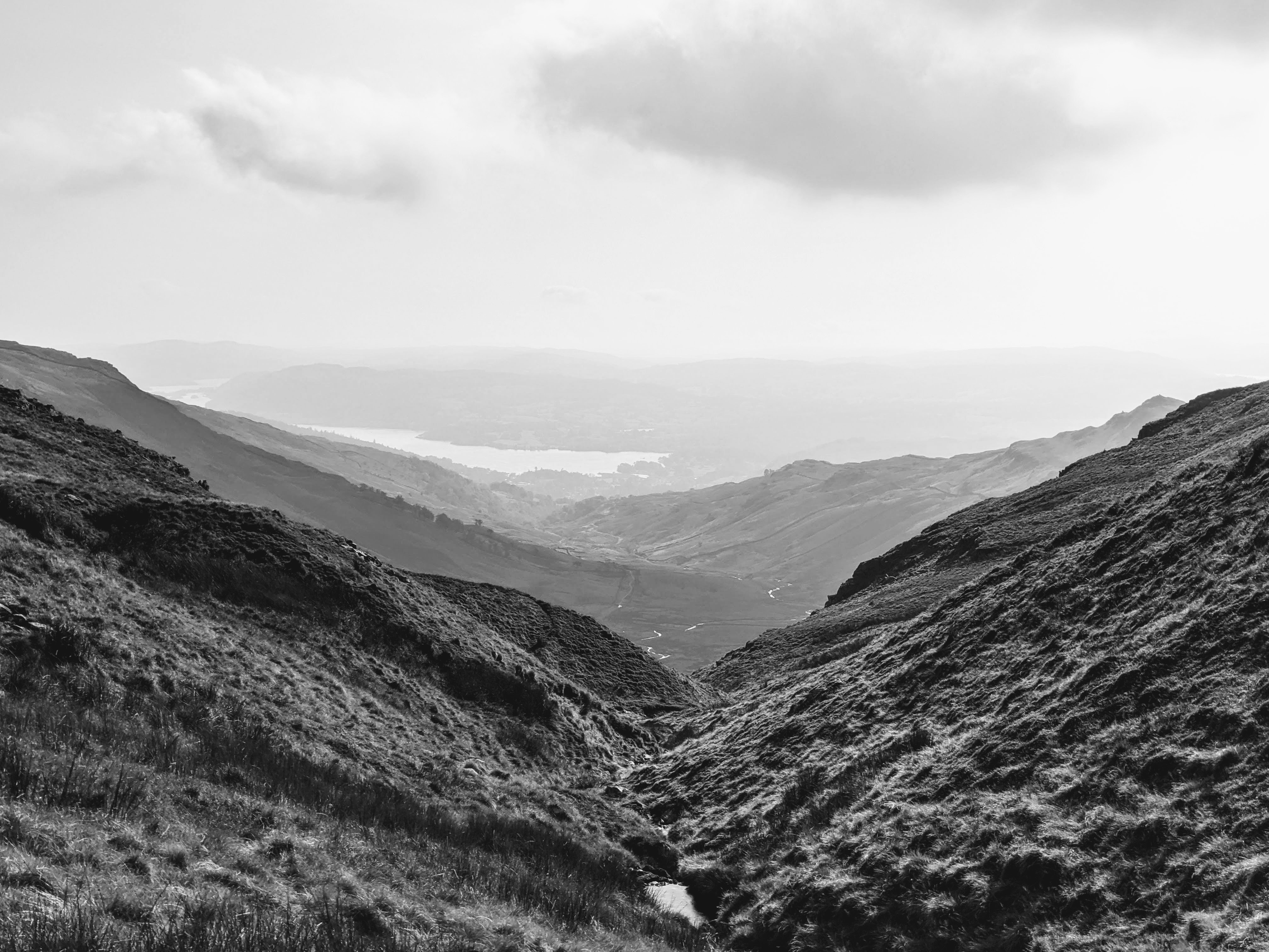
The renowned Scafell Pike, the tallest mountain in England, at an elevation of 978 meters. The easiest path from the base car park in Wasdale Head challenges your endurance, it took my group 7-8 hours round
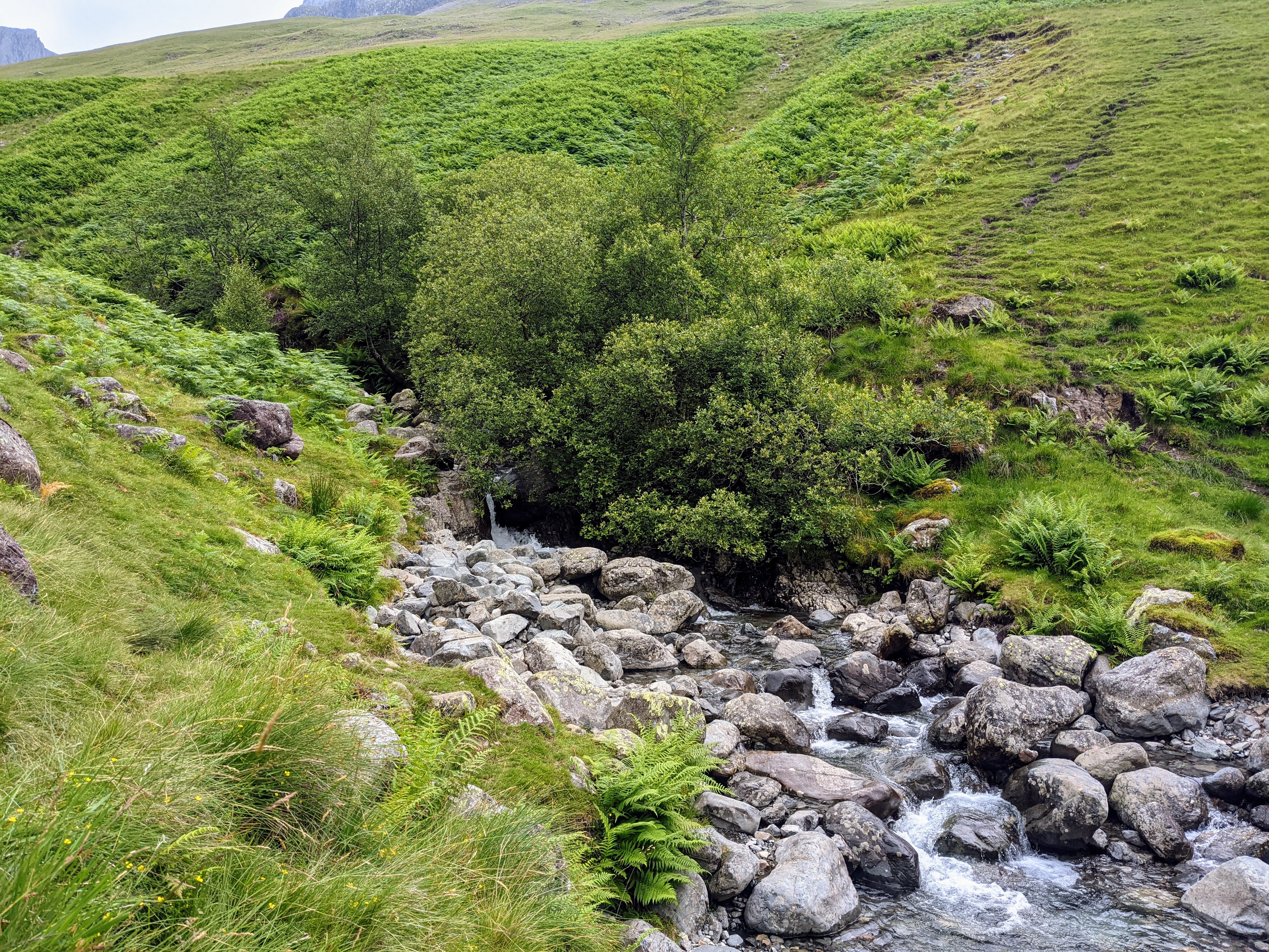
to traverse the 8 mile distance, climbing around 1000 meters. The paths, whilst well maintained, range from gravel tracks and stone steps to loose scree and harsh raw rocks. Make sure to bring ample supplies and good boots!
As you climb the views over Wast Water become increasingly striking, before moving from view beyond a point, shortly after which in good conditions you can see Keswick's Derwent Water over the Great Gable summit.
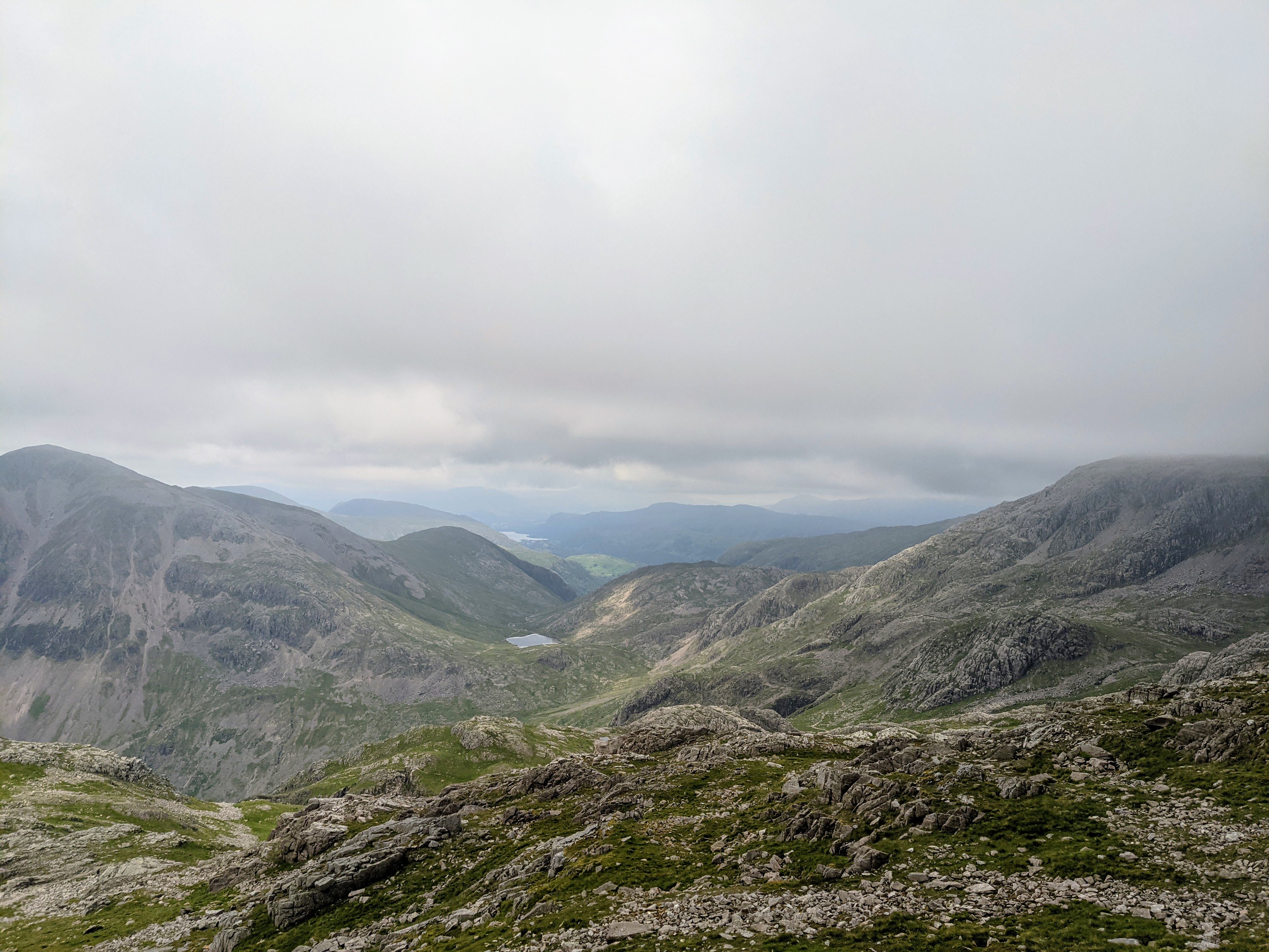
Once you come close to the summit of Scafell it becomes increasingly likely you will be engulfed in cloud, meaning warm clothes are a must! Infact every time I have summitted Scafell this has been the case, unfortunately limiting the views.
This aside Scafell is a great challenge for strong amateur hikers and those well versed alike, and weather permitting, the views can be incredible.